Bitihorn hike: our windy September climb

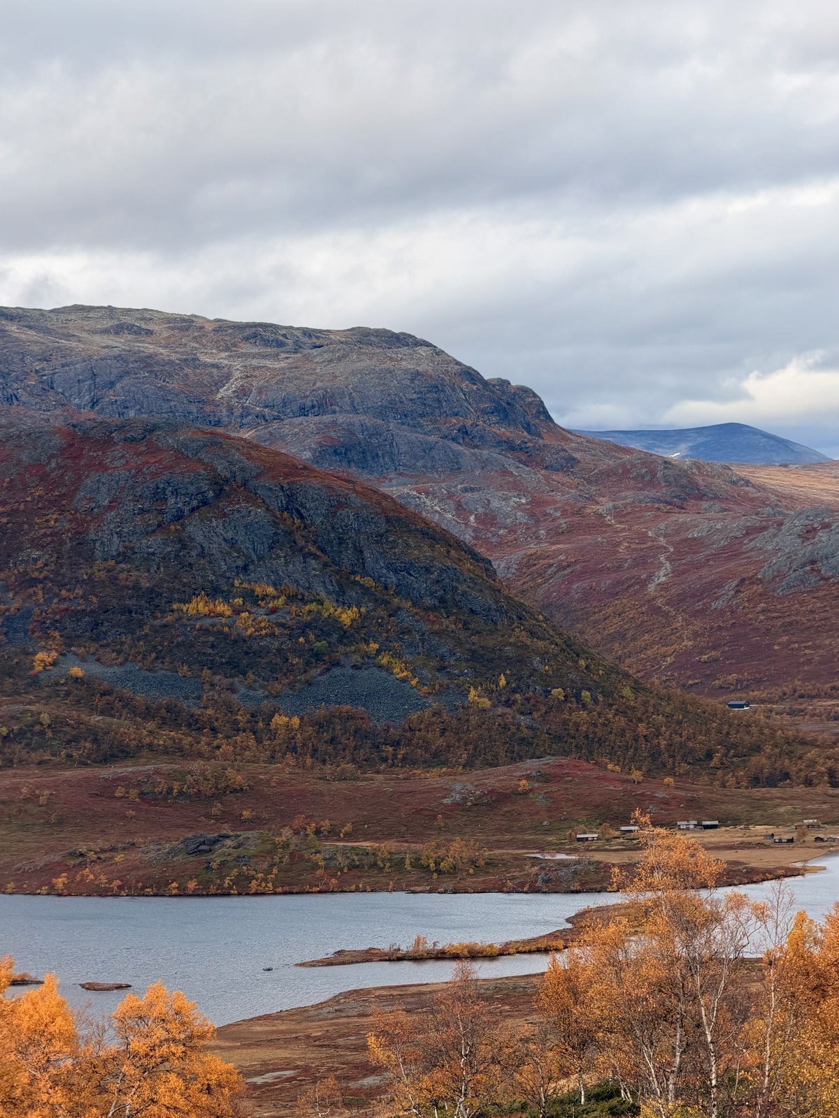
The view from Bitihorn was beautiful, but the cold is just as clear in my memory! We made it up and back in about two hours and twenty minutes, and quickly learnt that a lovely-looking day doesn't mean you'll be warm on the mountain. Warmer layers and gloves would have been very welcome.
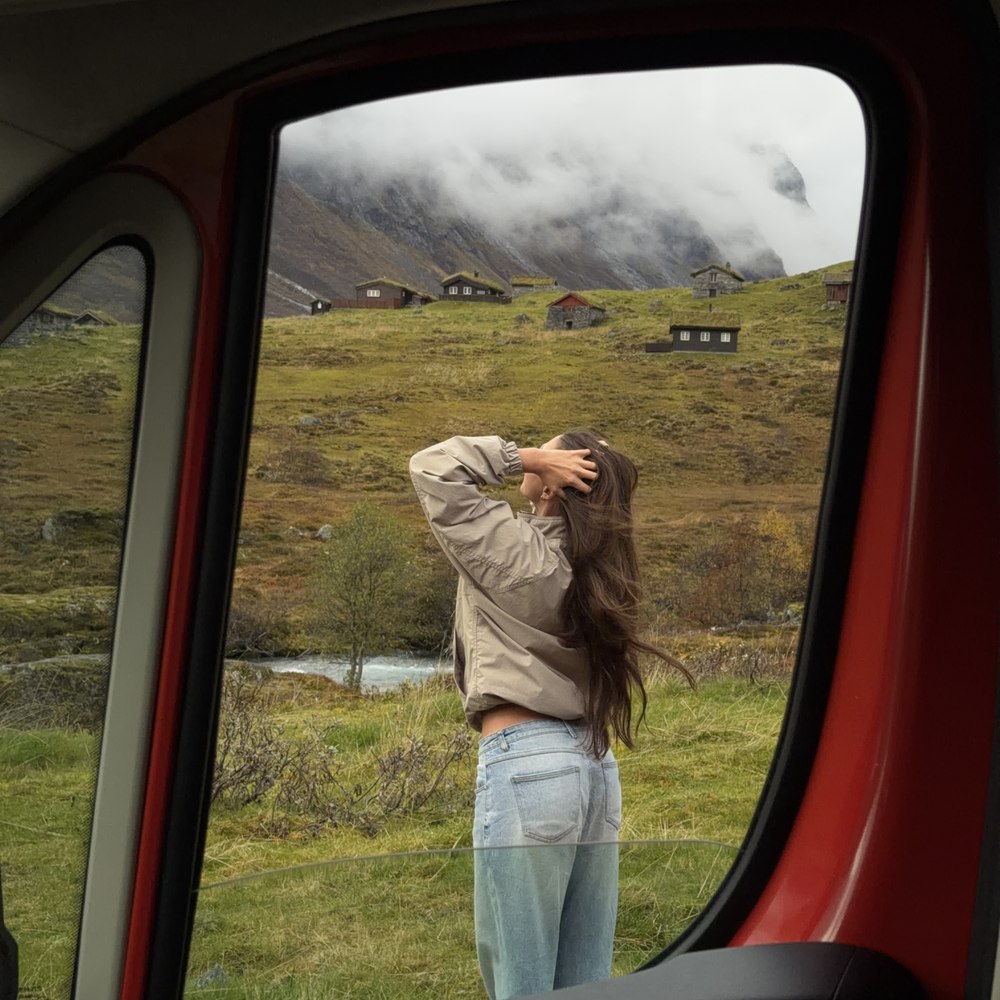
Bitihorn was a beautiful walk on our September trip, but the wind and cold are just as memorable as the view. Conditions higher up felt very different from standing beside the van. Warmer layers and gloves would have made it much more comfortable.
The views and the cold both stayed with us
This is our experience of the climb and what we'd prepare differently. It isn't a promise that another person will have the same weather, pace or route.
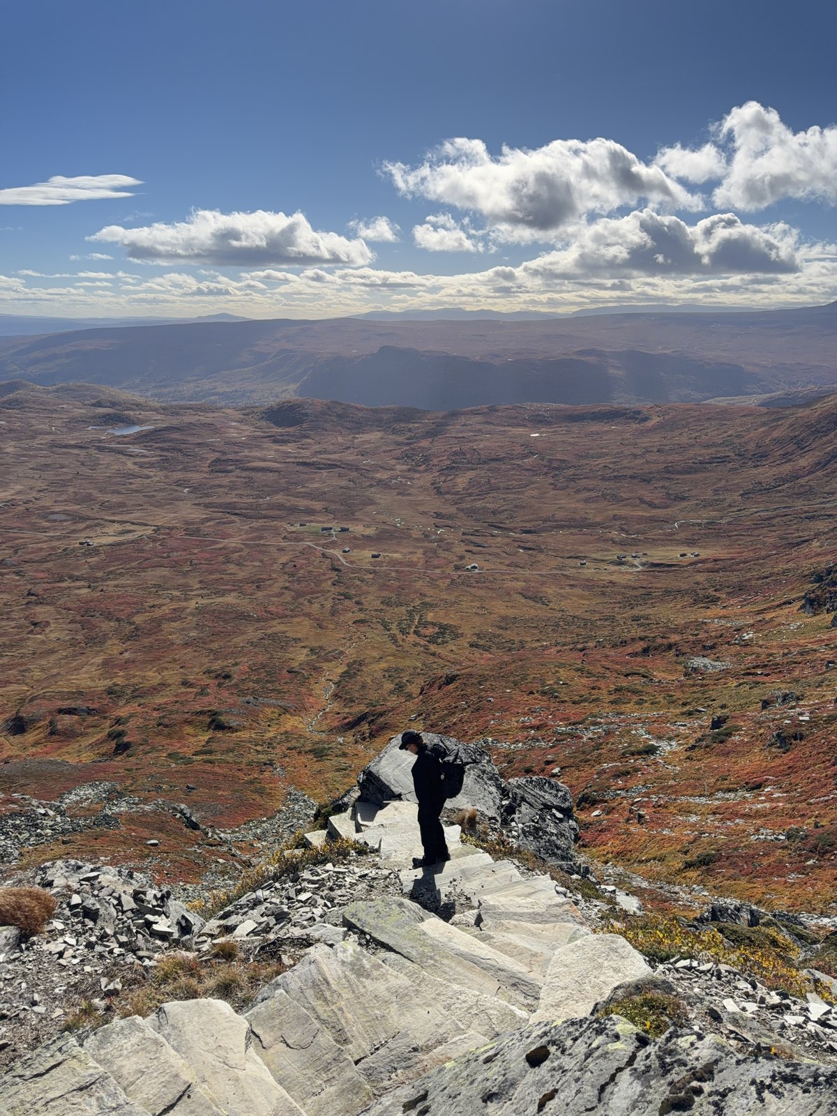
Our recorded walk was not every Bitihorn route
Our recorded distance was 4.29 kilometres and our time was about two hours and twenty minutes. Those are our own trip figures. The exact starting point for that shorter route still needs confirming, so I haven't turned them into navigation instructions.
The local Bitihorn activity page describes a different, longer itinerary. Match the route you choose to its actual trailhead and current guidance. Don't combine our distance with another operator's directions and assume they describe the same walk.
What I would bring next time
Gloves and warmer layers would be at the top of my list. We had a lovely-looking day, but that didn't make the exposed parts warm. Daniel had his beanie on and off during the walk; the useful lesson is to be ready for changing conditions, not to judge everything from the car park.
Take a waterproof and windproof outer layer, suitable footwear, food and water. Check the forecast and local route advice before leaving. If the weather, footing or visibility is beyond what you are comfortable with, turn back rather than treating the summit as an obligation.
Give the walk its own space in the day
I would avoid putting a tight campsite arrival or long onward drive immediately after a mountain walk. A recorded time only tells you how long we took that day. Breaks, weather and finding the correct route can change it for you.
We also visited the wider Besseggen area for a viewpoint during the road trip, but we did not hike Besseggen. It is a separate outing with its own preparation, not something to casually add because the names appear near each other on the map.
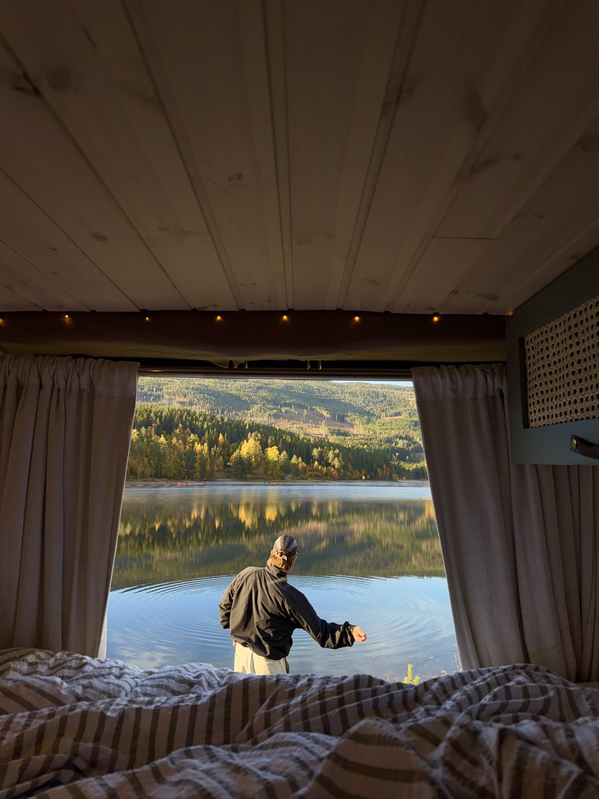
Our campervan bases in Valdres
First Camp Beitostølen was a practical stop in this part of the route. We preferred some of the smaller-feeling campsites elsewhere, but facilities were useful after the mountain scenery.
We later stayed at Leira, linked through Valdres Camping, before returning towards Oslo. Choose the base around your confirmed walk and the van's return appointment. I would rather have a relaxed final evening than finish a cold hike with several rushed hours still ahead.
Plan the rest of your Norway trip
Get our Norway Fjords guide for the web guide, downloadable PDF, place map and editable itinerary. Read these next:
Watch our Norway road trip
Watch our Norway road trip on YouTube, 68m46s. It is also our latest public full-length upload at publication. Visit Ellen’s YouTube channel.
Frequently asked questions
How long did our Bitihorn walk take?
Our recorded walk was 4.29 kilometres in about two hours and twenty minutes. This is our own result, not a promised time or directions for every Bitihorn route.
Did we also hike Besseggen?
No. We stopped at a viewpoint in the area but did not hike Besseggen.