Six nights across El Calafate, El Chaltén and Puerto Natales with buses, a private driver and day hikes instead of a tent. Perito Moreno, the Fitz Roy sunrise and Torres del Paine, what it actually cost, and the route I would book now, on one map.
Almost every Patagonia itinerary that ranks is built around the W Trek or a campsite. We booked too late for either, so we did it from three towns with buses and day trips, and this is that trip, laid out so you can use it standing in a bus terminal.
Town by town, where we slept and what it cost a night, the buses, the glacier day, the hike, and the full cost breakdown for six nights.
35 spots pinned and colour coded, each with our notes and a photo. Filter to just the hikes, or just the food.
One tap and your days appear, town by town, with every bus and the border crossing placed where they actually fall.
Drag it about, cross things out, add whatever is nearby. Every travel time updates as you go.
Patagonia is three towns, hundreds of kilometres apart, with a border in the middle. You do not just need to know what to do in El Chaltén, you need to know which night to be where, which bus that means, and that you need a night back in El Calafate before the bus into Chile. So it lays the whole trip out for you, buses included.
Tap it once and your days appear, town by town, in the order we would do them. Every leg tells you how far it is to the next place and whether that is a walk, a car or the bus, and the hike is the hike: the times we actually walked, not a guess from a map.
The days you change town say so in their own right, with the real price of the bus, the boarding tax you pay at box 9 and the hours we sat at the border. Where we never timed something ourselves, it tells you that instead of making a number up.


Nothing in there is fixed. Cross out the restaurant you do not fancy, drag a stop up or down by the little grip, or send it into a different day if the forecast changes, which in Patagonia it will. The dashed plus sits right on the gap between two stops, so if you want something in the middle of your afternoon you just tap the middle of your afternoon.
Every travel time recalculates the moment you change something, and so does the total for the day, which means the plan on your screen is always the plan you are actually doing.
Tap that plus and it only offers you things that are actually close to where you already are, closest first, with the real travel time from the stop above it. Filter it down to food, or drink, or somewhere for the evening, and every option is a place from our trip rather than whatever is paying to be top of a list.
One tap on share and the whole route lands in Messages, WhatsApp or your Notes, your edits and all, with a map link on every stop. No app to download, no account to make, nothing for your friends to sign up for.
Patagonia is not cheap, but it is a lot more doable than the luxury camps make it look. This is my own breakdown, per person, checked against our spending records line by line. Flights are left out because everyone's are different. All prices are January 2026, and Argentine prices were moving fast, so treat every peso figure as a snapshot.
Here are a handful of the pins, a couple from each town. The grey dots are the rest. The full map has all 35, each with our notes, a photo and a link to book it.
My partner Dan and I have been travelling together for over 10 years, the last 24 months full time, and every guide I make is a trip we actually took. We are not hikers, we booked Patagonia far too late, and we still got the best sunrise of our lives. That is the trip this guide is for.
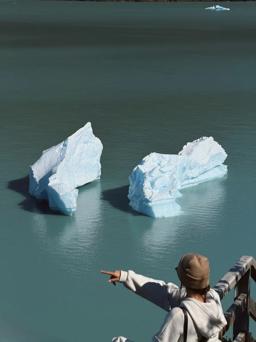
And the flip side of that: we did not walk on the glacier, we did not take the boat, we did not hike in Torres del Paine and we did not do the W Trek, so none of it is written up as though we did. I am not going to write you a day I did not do.
54 countries and counting.
Ellen xStraight away. You land on your own page with the guide, the interactive map and the route builder, and the same link is emailed to you so you always have it.
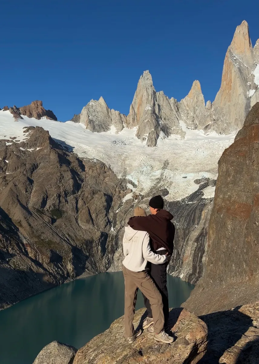
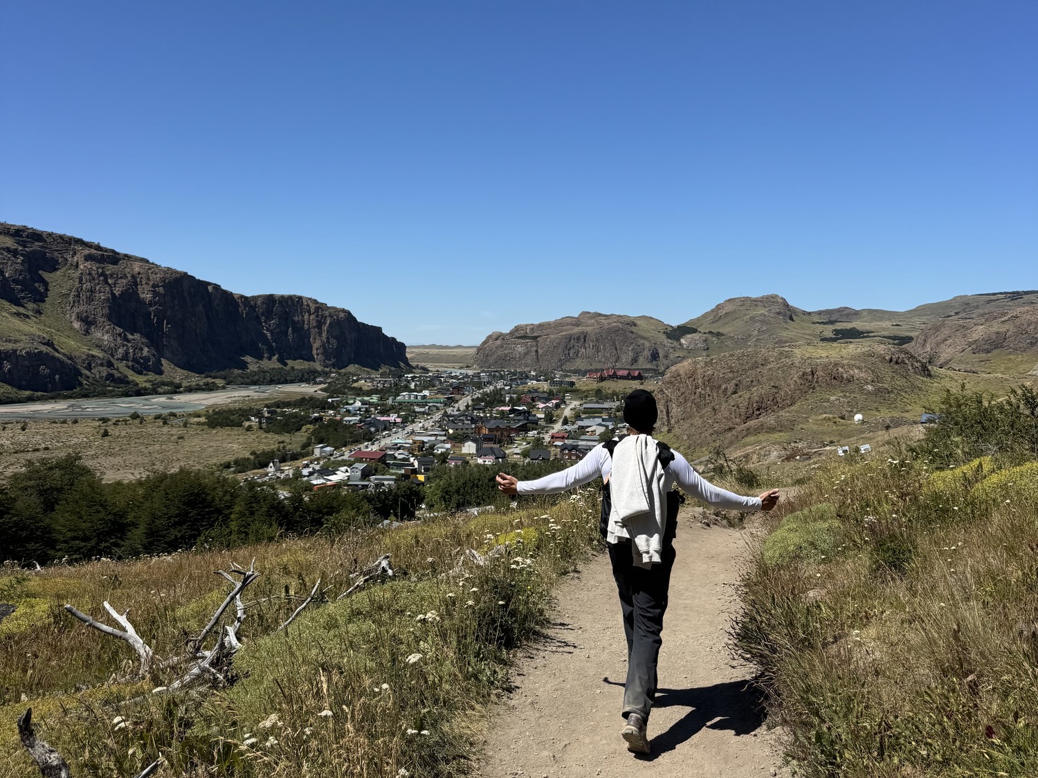
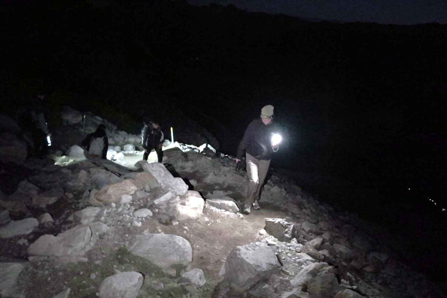
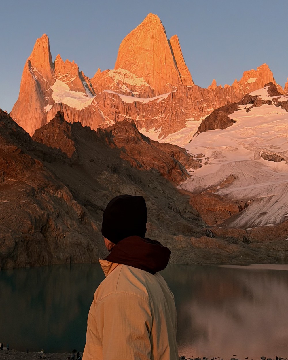
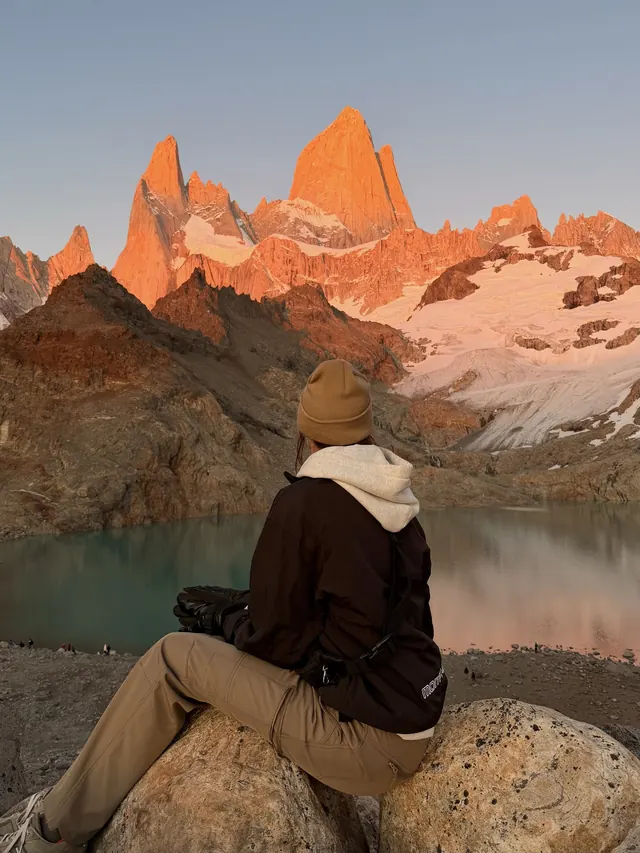
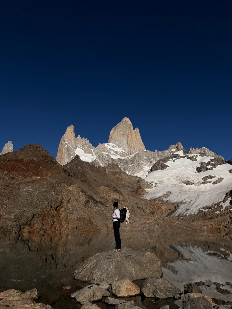
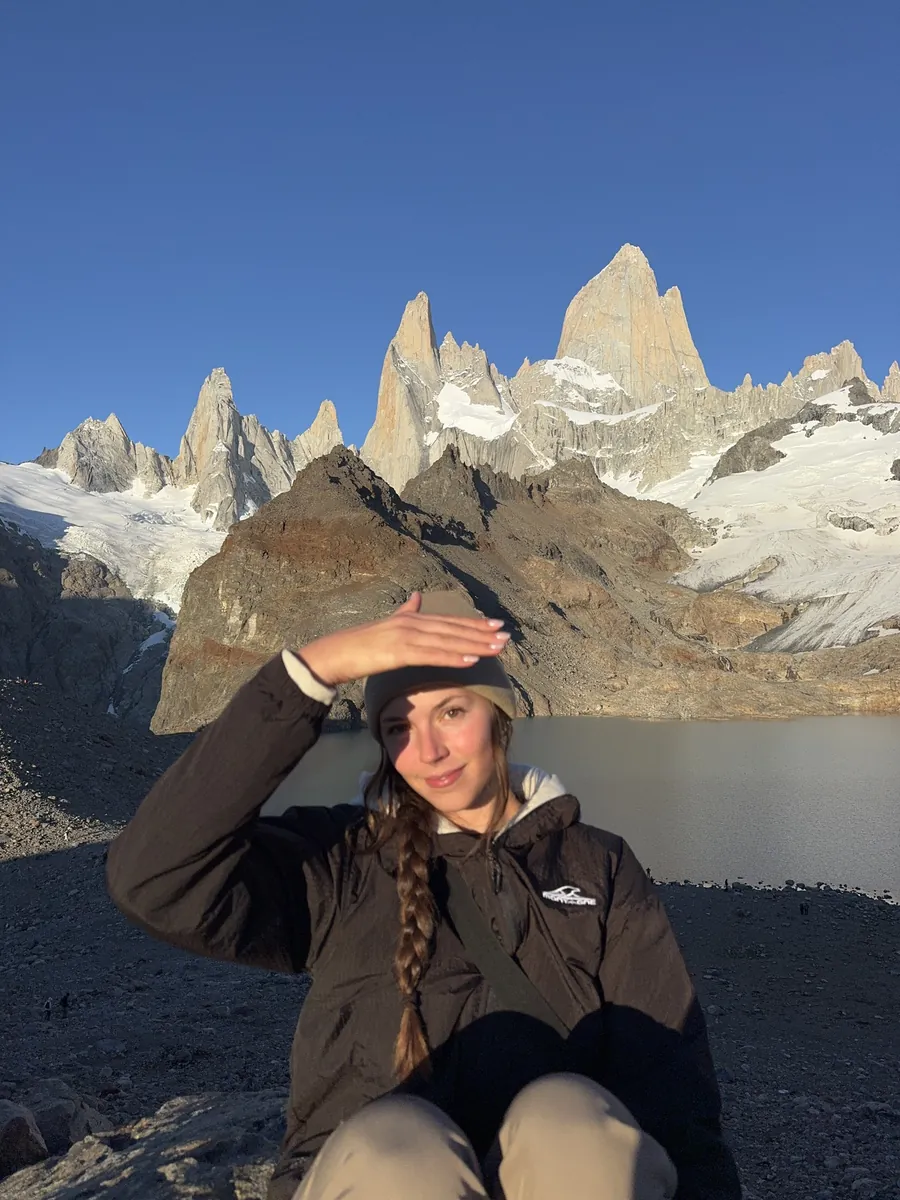
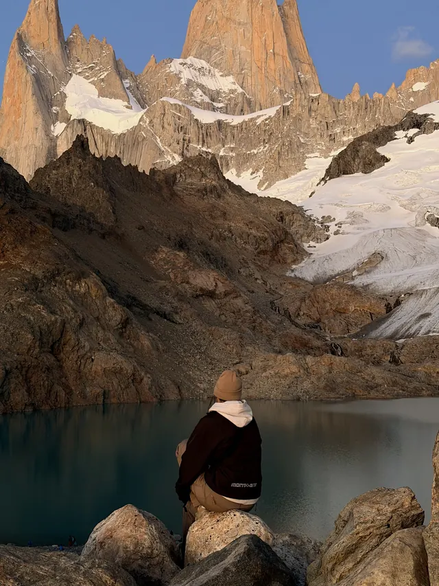
No camping at all: we stayed in Airbnbs, a cabin and a hostel. The Fitz Roy sunrise hike is classified difficult and I will not pretend it is easy, but we do not hike often either. It is easy until the last 45 minutes to an hour, and that is 45 minutes out of the three and a half hours you have already walked.
Because we had six and I would honestly add three more. An extra day in El Calafate so the glacier is not squeezed in before a bus, and spare days in El Chaltén and Puerto Natales so the weather cannot take the hike or Torres del Paine away from you. The six we actually did is in there too, if that is the time you have.
Our six nights came to A$1,255.50 per person, not including flights or the El Chaltén park fee, which was about A$40 to A$50 per person in January 2026. The guide has every line of it.
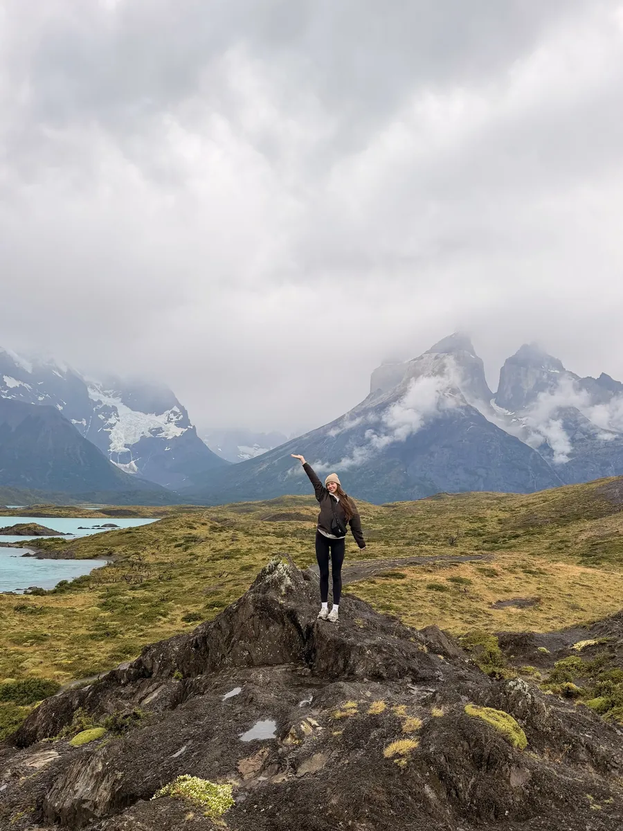
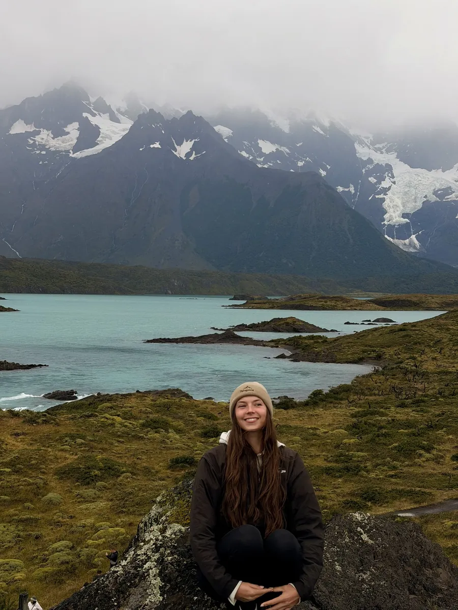
Torres del Paine, honestly: we did a full day tour from Puerto Natales, the towers stayed in cloud, and the guide tells you exactly what the tour is like and how to plan a spare day. The W Trek, no. It was out of reach by the time we booked, so it is not written up.
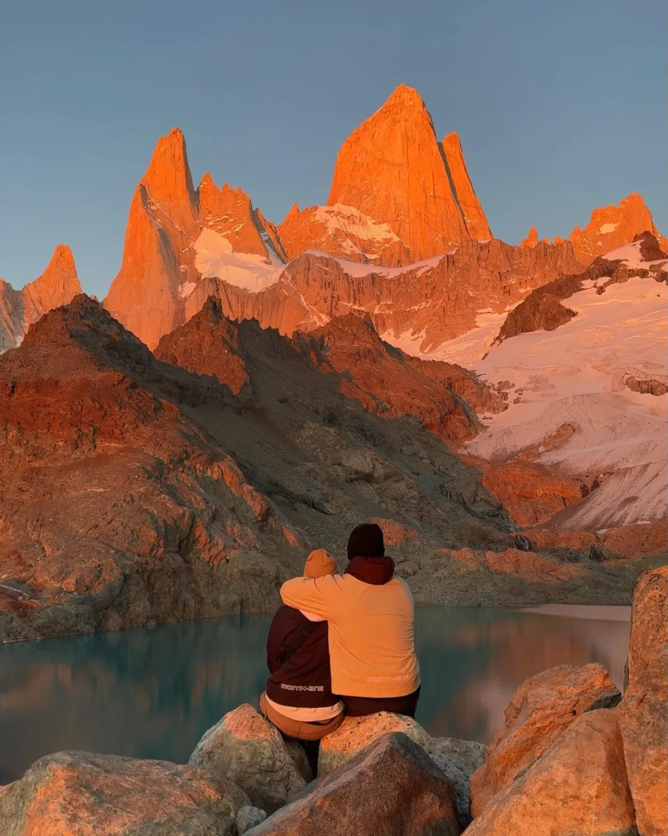
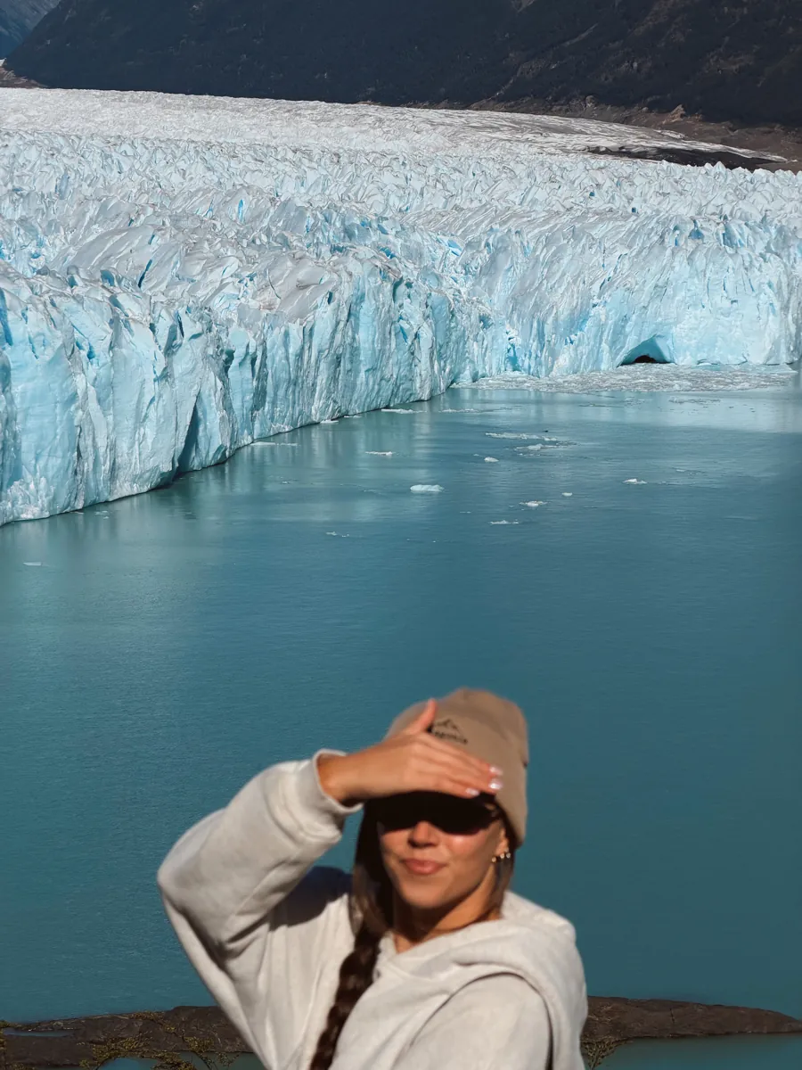
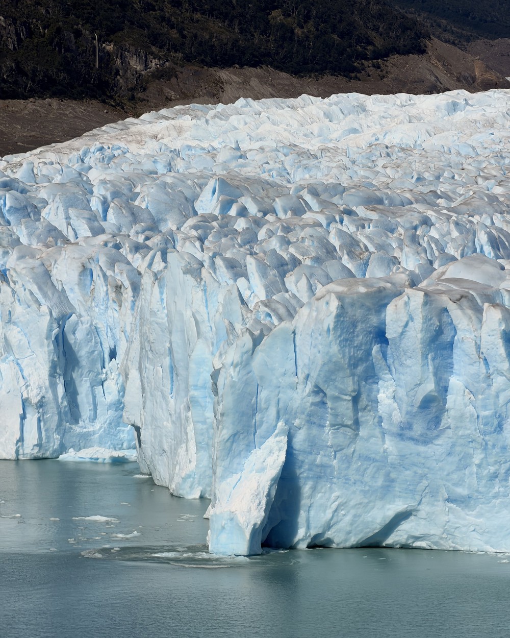
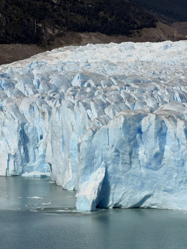
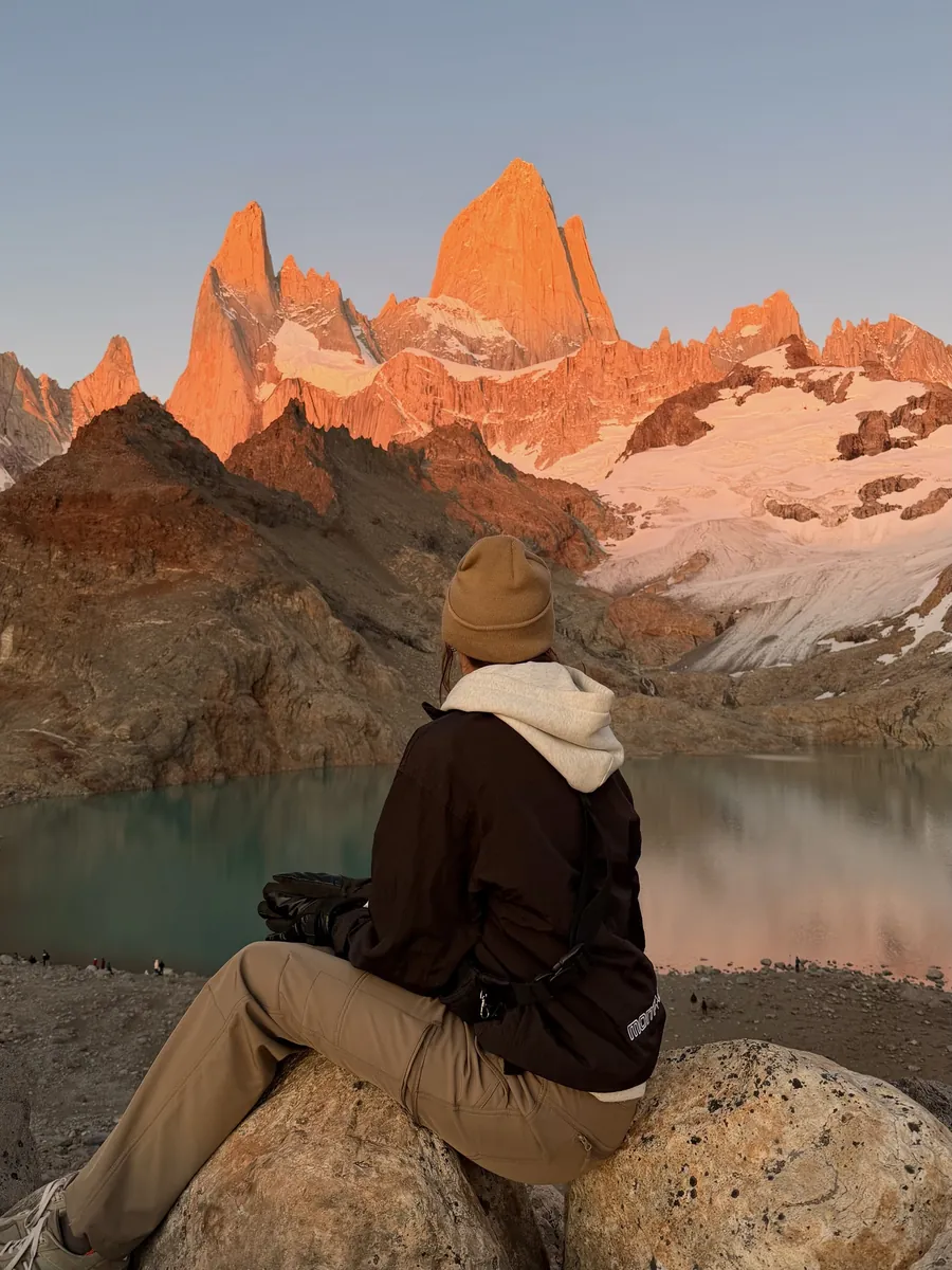
We went in late January, the height of summer, so that is the month I can tell you about: long days, a cloudless glacier, a perfect sunrise at Fitz Roy, and three days later Torres del Paine buried in cloud. It is also the busiest time, so book early.
Yes. There is a PDF of the whole guide to download, and a file with every pin to import into your own Google Maps. Worth doing, because there is no reception at the glacier.
Email us within 30 days and we refund you, no questions asked, and you keep the guide. Full details on our refund page.
We update it as things change and you get every update free, forever.
We already booked it too late, rode every bus and wrote down every number. Get the guide, the map and the route builder for less than one steak dinner in El Chaltén.