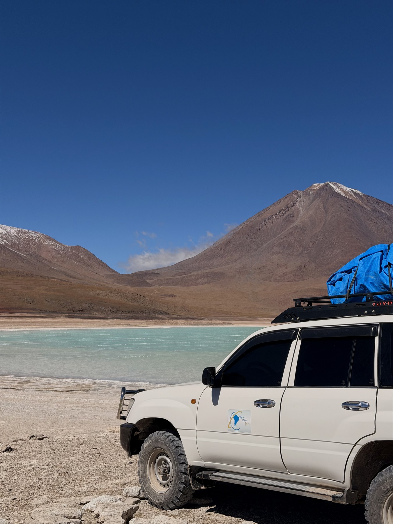
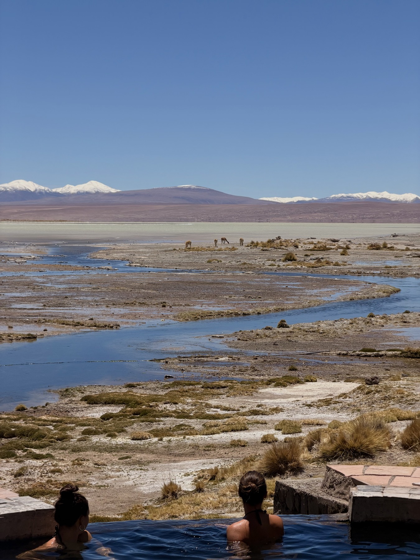
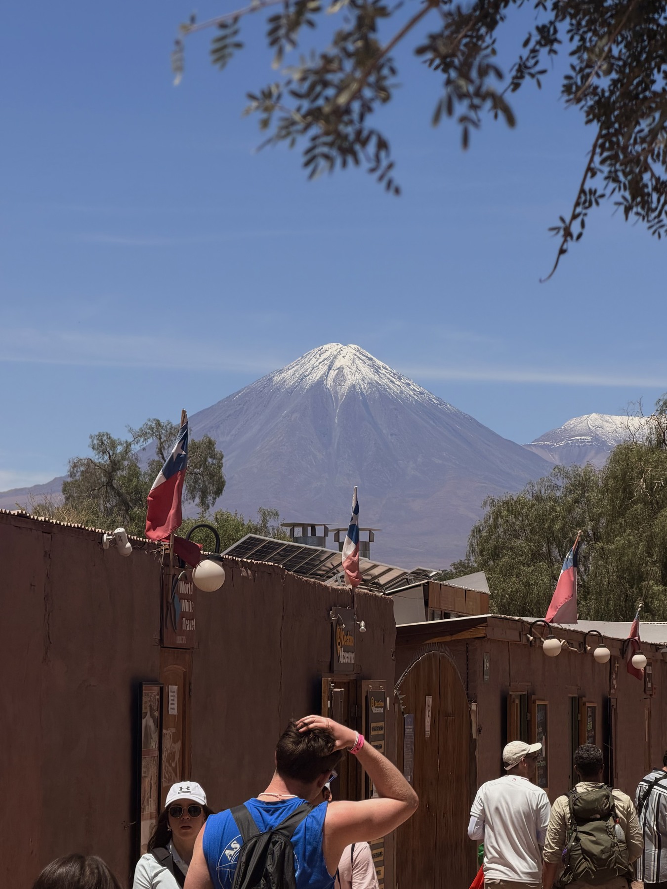
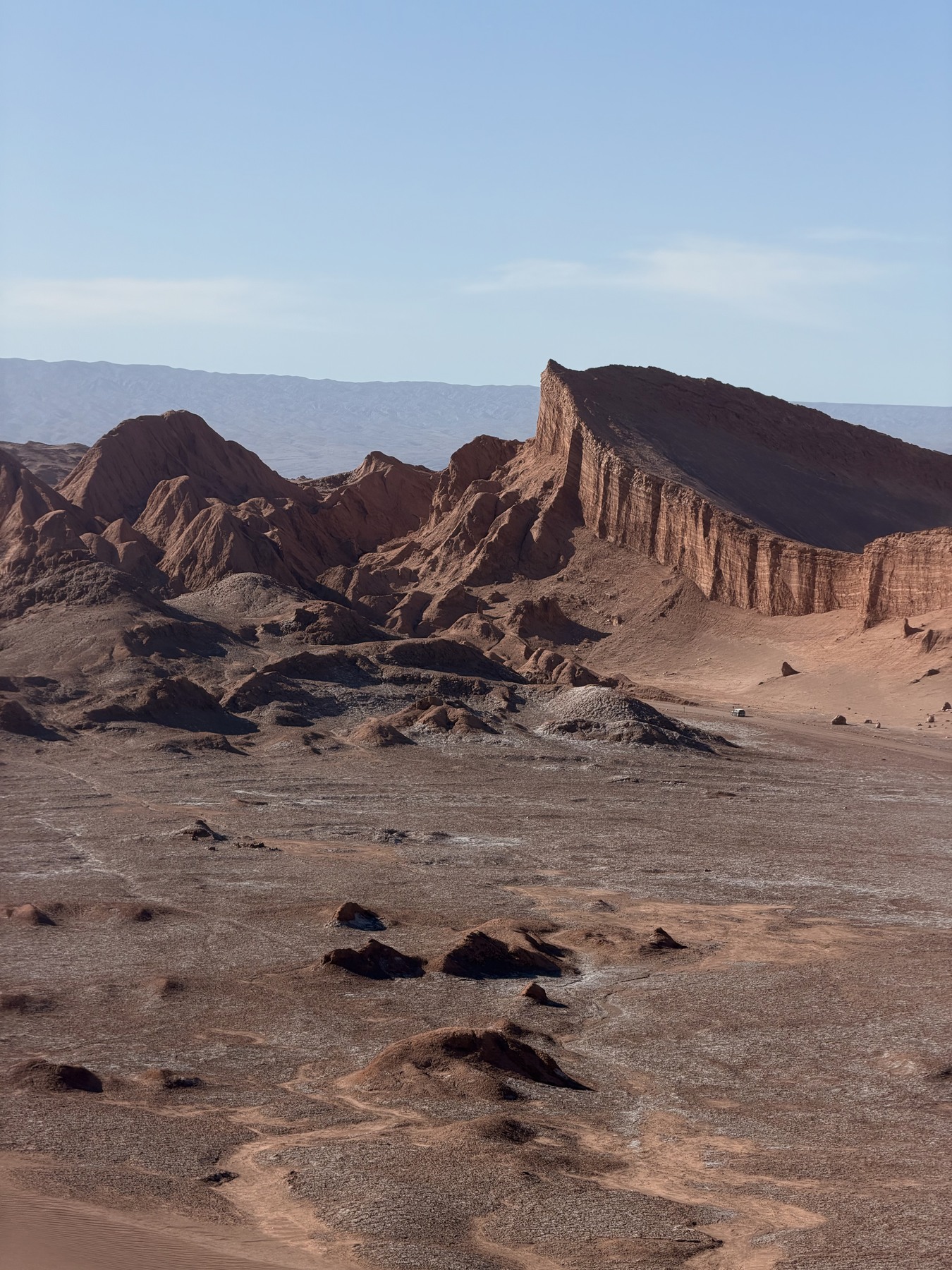
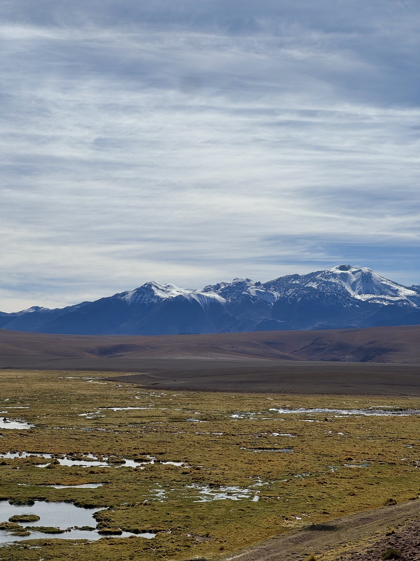
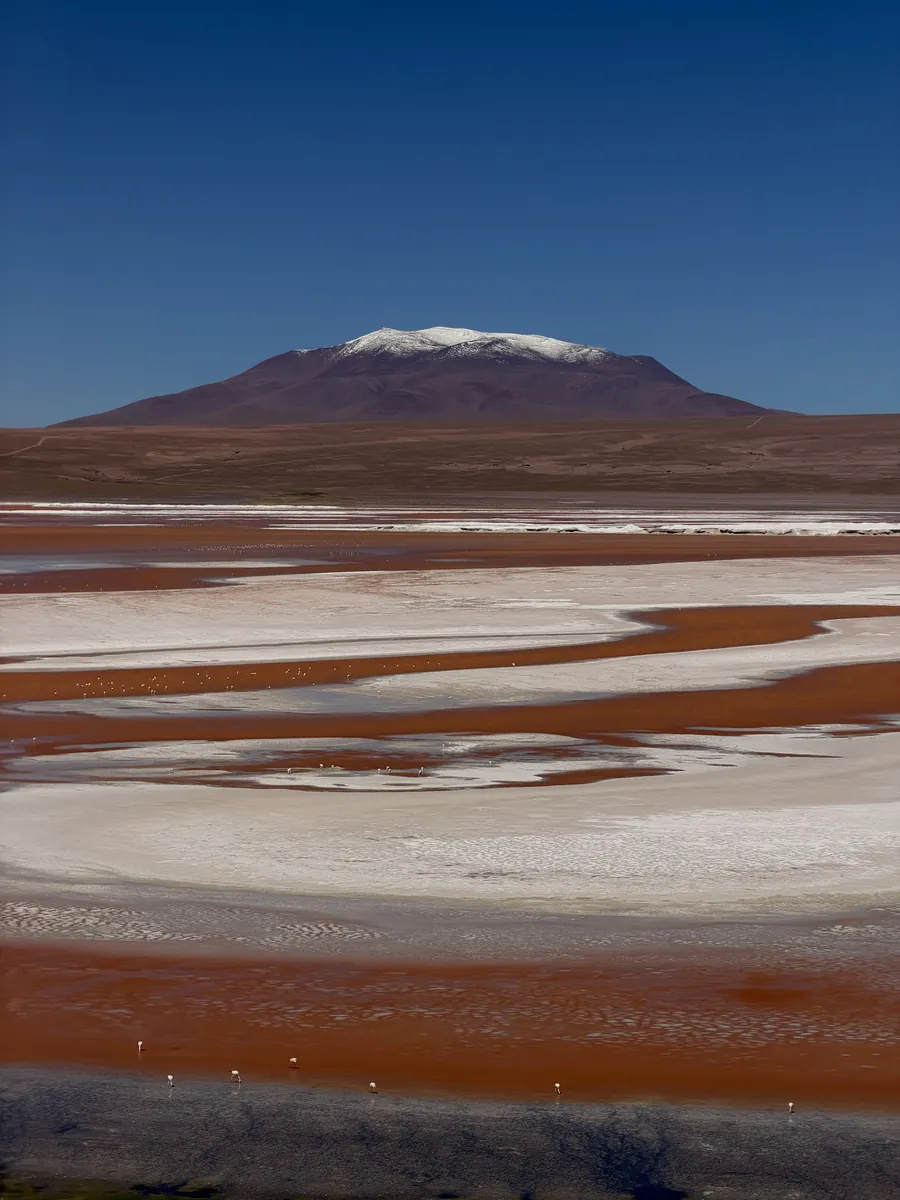
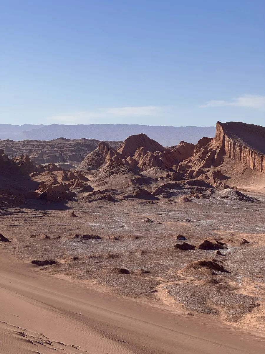
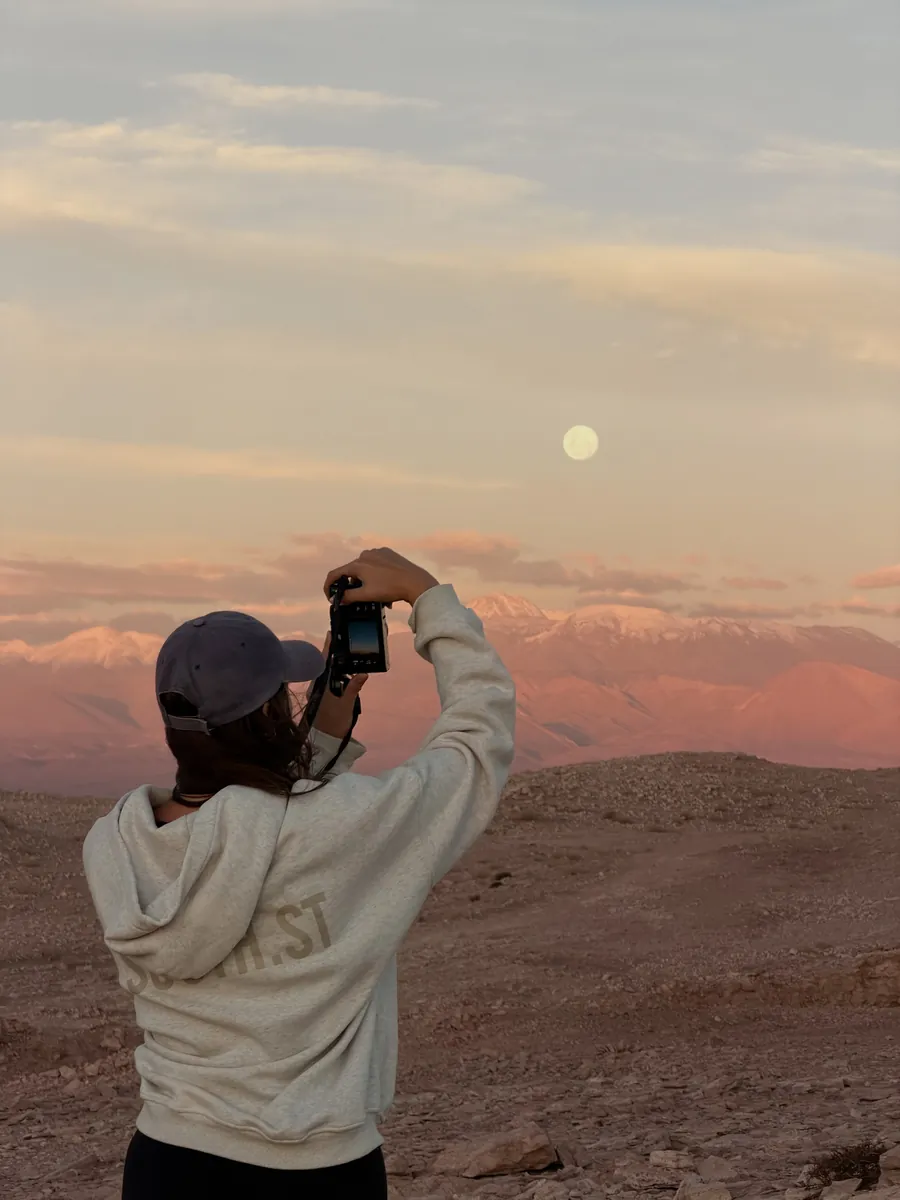
Three nights in San Pedro de Atacama, the three day 4WD crossing to Uyuni, then the buses up to La Paz. Every stop, what it cost and what nobody warned us about, on one map.
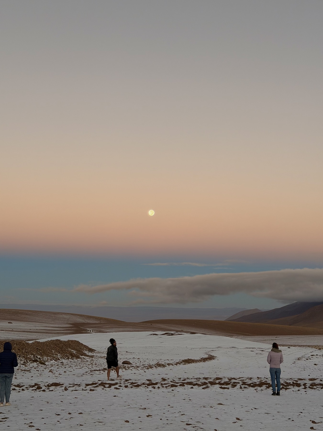
Most of what you find about the salt flats is a tour listing. This is the route we actually took, from Chile into Bolivia, laid out so you can use it while you are standing at a freezing border with snow around you.
Stop by stop, where we slept and what we paid, the tour day by day, the buses, and the questions I would ask before booking a crossing.
31 spots pinned and colour coded, each with our notes, from San Pedro de Atacama to La Paz. Filter to just the sights, or just the food.
One tap and your ten days appear, with the three tour days in the order the tour runs them and the buses where they fall.
Drag it about, cross things out, add whatever is nearby. Every travel time updates as you go.
This trip is not one city, and that is where most itineraries fall over. You do not just need to know what is in San Pedro, you need to know which nights are on the tour, which morning starts at 5am and where the buses go after Uyuni. So it lays the whole ten days out, from landing in Calama to flying out of Santa Cruz.
Tap it once and your ten days appear in the order we did them. Every leg tells you how you get to the next stop, whether that is a walk, a taxi or the 4WD with your tour, so you are not guessing how far one lagoon is from the next.
The bus days carry the real price and what went wrong on ours. Nobody timed the desert tracks, including us, so those legs say roughly rather than pretending to be precise.


Nothing in there is fixed. Cross out the stop you do not fancy, drag a stop up or down by the little grip, or send it into a different day if you would rather have a slower morning after El Tatio. The dashed plus sits right on the gap between two stops, so if you want something in the middle of your afternoon you just tap the middle of your afternoon.
Every travel time recalculates the moment you change something, and so does the total for the day, which means the plan on your screen is always the plan you are actually doing.
Tap that plus and it offers you the places closest to where you already are, closest first, with the travel time from the stop above it. Filter it down to food, or drink, and every single option is still a place from our trip rather than whatever is paying to be top of a list.
One tap on share and the whole route lands in Messages, WhatsApp or your Notes, your edits and all, with a map link on every stop. No app to download, no account to make, nothing for your friends to sign up for.
Every figure here is what we paid in early 2026, per person unless it says otherwise, in Australian dollars or the local currency we paid in. They are our prices, not a promise of today's.
Here are a handful of the pins. The grey dots are the rest. The full map has all 31, each with our notes and a link to book it where there is one.
I've been travelling full time for the last 24 months, and every guide I make is a trip I actually took. Nothing in here is researched from a desk: if I name a stop, we stood there, and if I link a place to stay, I would book it myself.
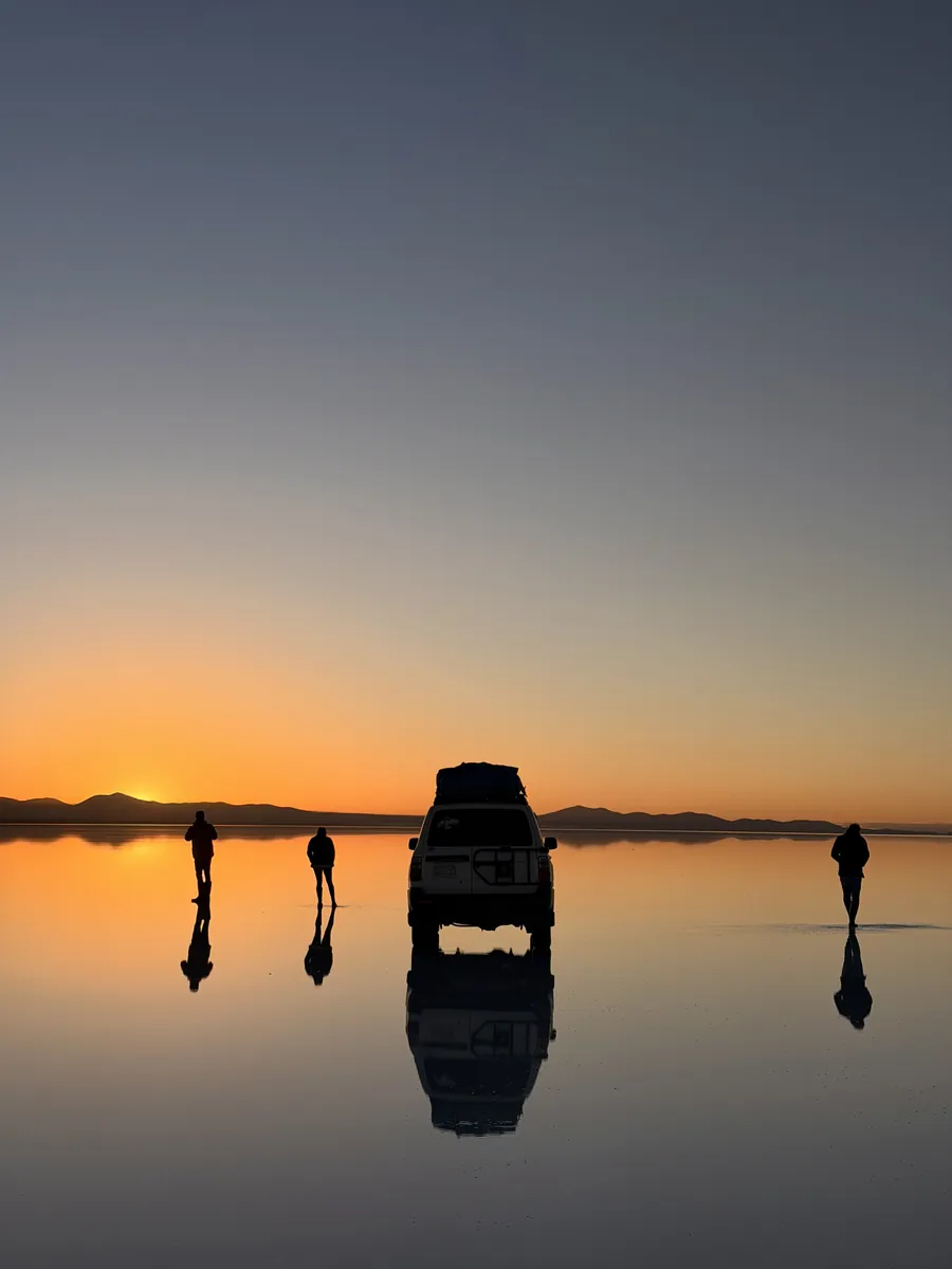
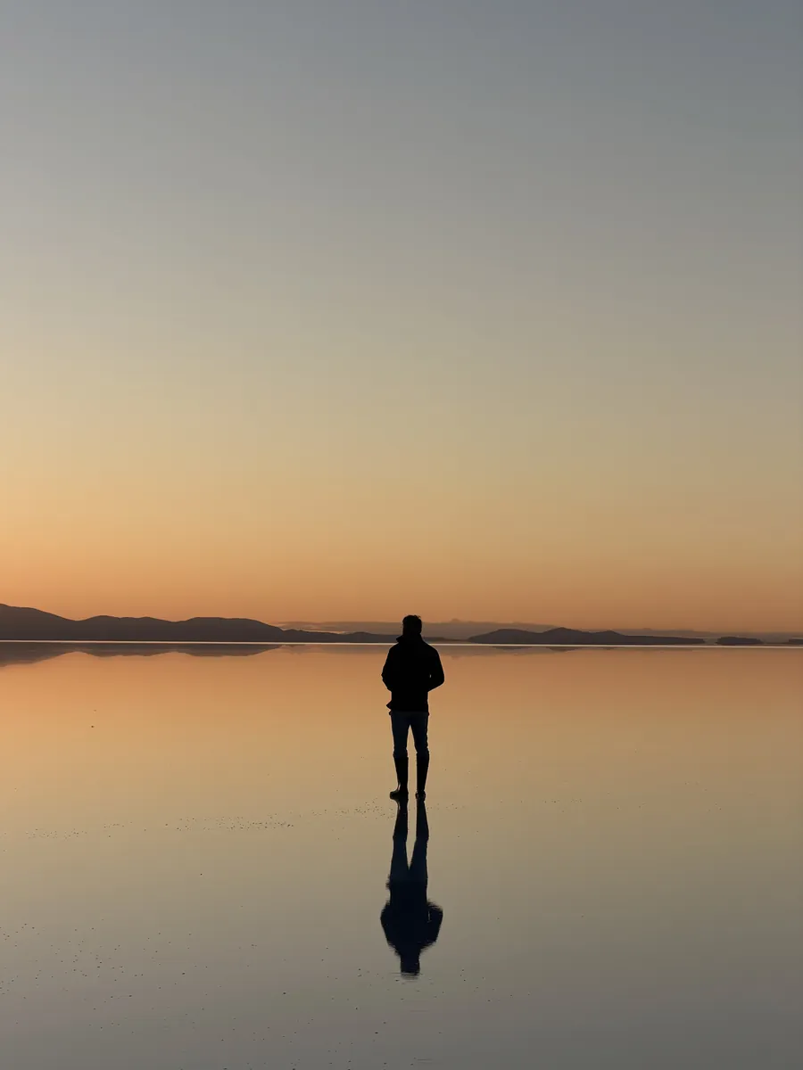
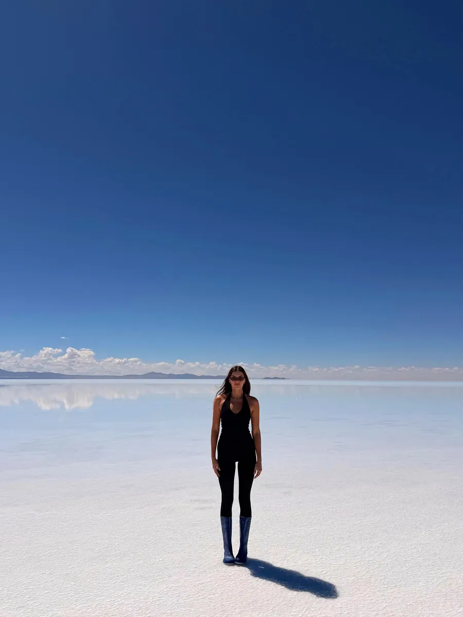
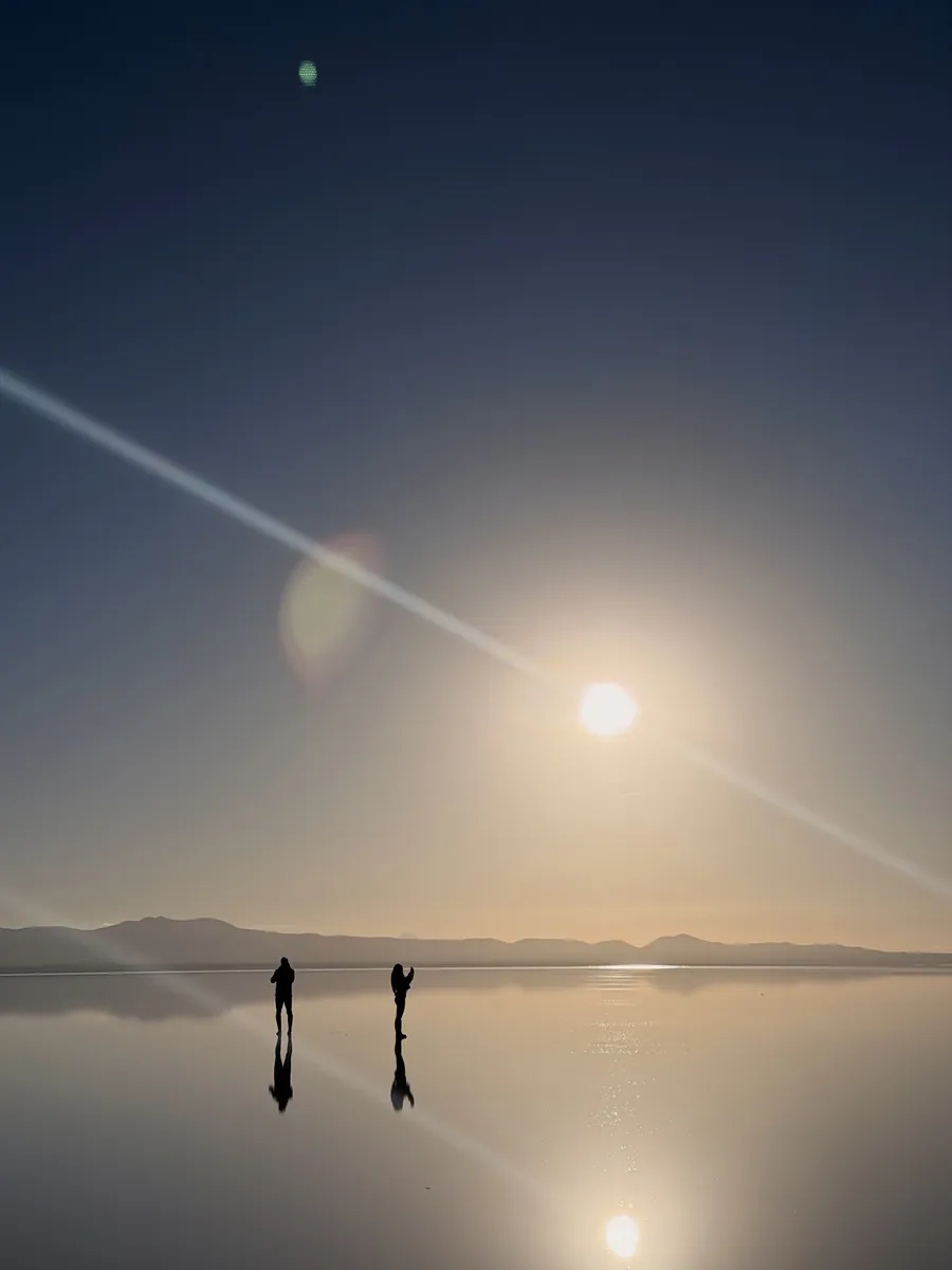
The salt flats were one of those places I had seen so many photos of that I almost did not know what to expect. Standing out on the water at sunrise was unreal, and I would absolutely do the crossing again.
And the flip side of that: we did not do a stargazing tour, we did not sleep in a salt hotel and we did not hike the big mountain outside La Paz, so none of them are written up as though we did.
54 countries and counting.
Ellen xStraight away. You land on your own page with the guide, the interactive map and the route builder, and the same link is emailed to you so you always have it.
Because that is the trip we took: three nights in San Pedro, two nights on the tour, one in Oruro to break up the buses, three in La Paz and one in Santa Cruz to fly out. If you only have a week, the builder has a six day version that finishes in Uyuni, when the tour does.
For us, absolutely, provided you are comfortable with basic accommodation, long stretches in a shared vehicle and a flexible route. The first night was the hard one: around fifteen people sharing one toilet and shower, with no hot water. The guide tells you exactly what each night was like.
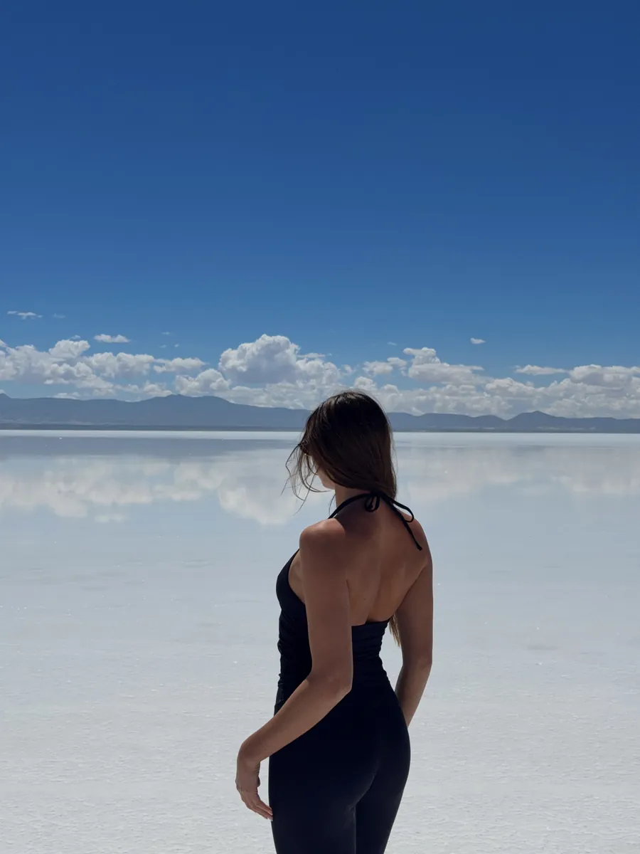
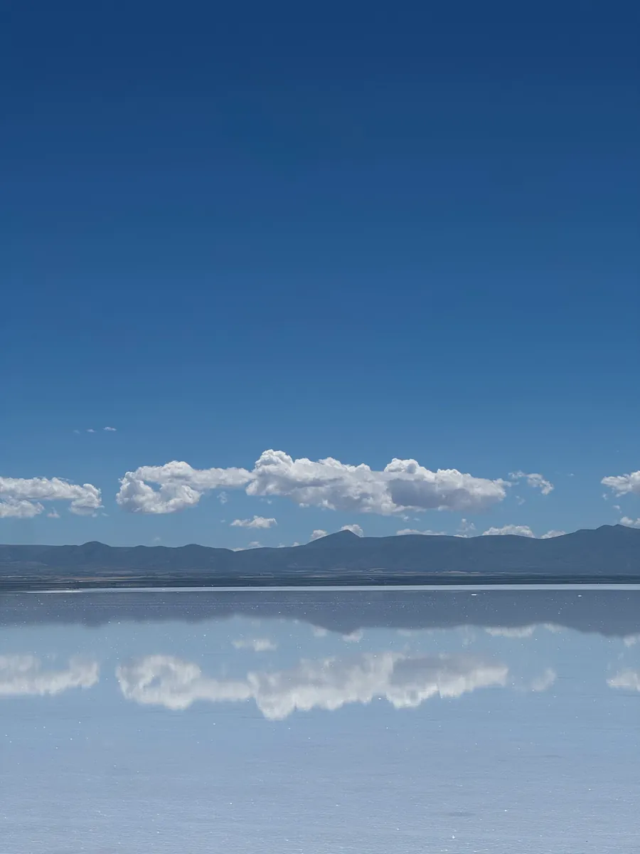
We went in early February and had the reflections at sunrise, then the dry white salt later the same morning. The water cannot be promised, so the guide tells you what we saw rather than selling you a guaranteed reflection.
Take it seriously. El Tatio is at about 4,320 metres, we were around 5,000 metres at Sol de Mañana, and La Paz sits at about 3,631. We felt breathless at points. That is our experience, not medical advice: read proper altitude guidance and talk to a clinician about any health concerns.
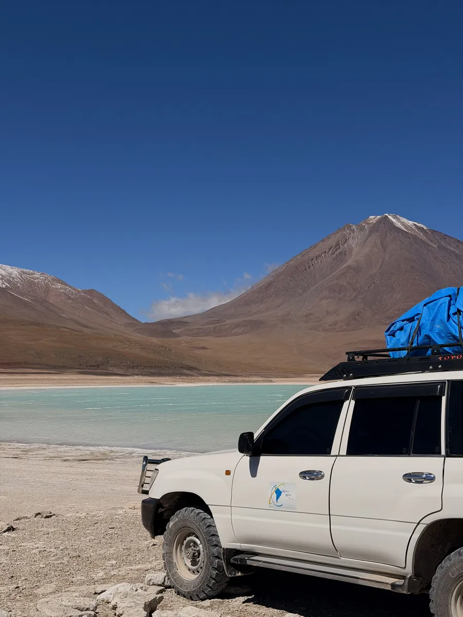
We booked through an agency in San Pedro. The tour links in the guide are for comparing, not a claim that any listing is our exact operator, and the guide lists the questions I would ask before paying.
Yes. Your guide page has the whole guide as a PDF and a map file for Google Maps, so download both before you lose signal on the crossing.
Email us within 30 days and we refund you, no questions asked, and you keep the guide. Full details on our refund page.
We update it as things change and you get every update free, forever.
We already did the crossing, the buses and the cold mornings, and wrote down every number. Get the guide, the map and the route builder for less than a ticket to the cholita wrestling.